Switzerland · Trail Guides
Hiking in Switzerland
65,000km of marked trails. From afternoon lake walks to twelve-day alpine crossings — here is where to put your boots.
65,000km of marked trails. From afternoon lake walks to twelve-day alpine crossings — here is where to put your boots.
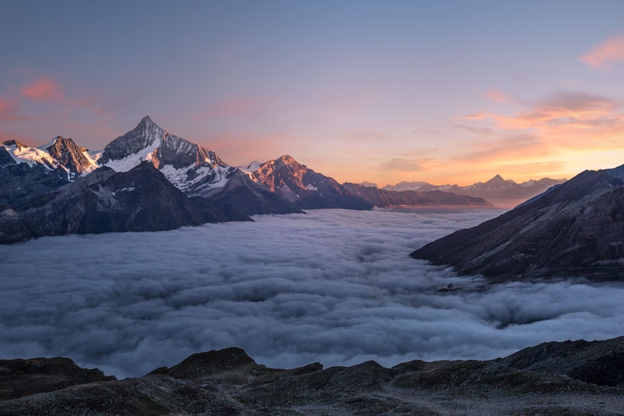
Twelve days. Two countries. Some of the most relentless mountain scenery in the Alps. The Haute Route is Europe's most celebrated alpine long-distance trail — and it earns every word of the reputation.
The trail runs directly below the Eiger's north face — the same wall that defeated so many climbers before the first ascent in 1938. You walk in the shadow of it for most of the route.
A turquoise glacial lake surrounded by 2,000m walls of rock, reachable by gondola with a short walk. The easiest beautiful hike in Switzerland, which also makes it the best introduction to Swiss trails.
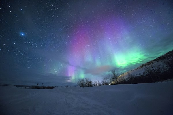
The ridge between Schynige Platte and First gives simultaneous views of the Eiger, Mönch and Jungfrau on one side and both Brienz and Thun lakes on the other. It should not be possible to see this much at once.
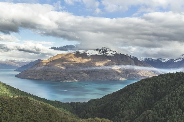
Each of the five lakes on this loop reflects the Matterhorn differently depending on time of day, wind, and cloud. The third lake, at midmorning on a calm day, is the most-photographed spot in Switzerland for a reason.
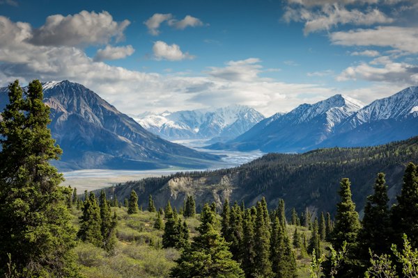
The TMB circles the Mont Blanc massif through three countries over eleven days. It is not technically difficult but it is relentless, and the views on the Swiss section — the descent toward Champex — are some of the finest of the route.
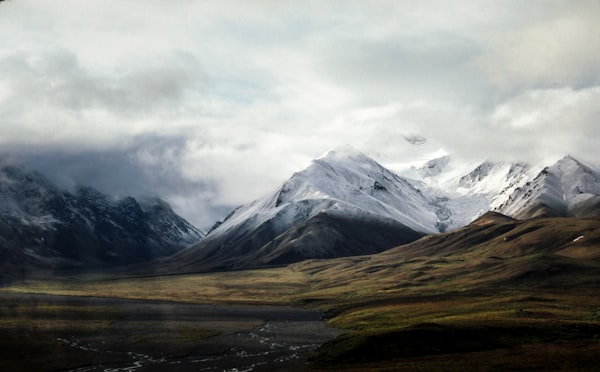
The Aletsch is Europe's longest glacier — 23km of ice moving slowly down from the Jungfrau massif. The panorama trail above it gives views that remain genuinely difficult to process, even on the third look.

The Alpstein limestone massif is one of the most distinctive landscapes in Switzerland — white rock, dark green fir, startlingly blue Seealpsee. The Säntis ascent from Wasserauen is steep, rewarding, and very rarely feels crowded.
A gentle loop around one of the prettiest mountain lakes in eastern Switzerland, with the Alpstein walls rising around it and the dairy farms of Appenzell on the approach. The cheese at the Berggasthaus is not optional.
The cliffside path south of Brunnen along the Urnersee is one of the finest and least-walked lakeside routes in central Switzerland. The mountains rise straight from the water on both sides and almost nobody knows this walk exists.
| Month | Lower Trails (<1500m) | Alpine Trails (1500–2500m) | High Alpine (>2500m) | Notes |
|---|---|---|---|---|
| January–March | Snowshoes needed | Closed | Closed | Ski season; lower valleys walkable with microspikes |
| April | Good | Often closed | Closed | Wildflowers at lower elevations; mud on shaded paths |
| May | Excellent | Opening up | Still icy | Green season — uncrowded and beautiful |
| June | Excellent | Excellent | Good | Best month overall. Long days, high huts opening |
| July–August | Excellent | Excellent | Excellent | Peak season — most trails open, afternoon storms common |
| September | Excellent | Excellent | Good | Arguably best month — quieter, golden light, lower crowds |
| October | Excellent | Good | Closing | Autumn colours, first snow above 2000m |
| November–December | Possible | Closed | Closed | Low season; some valley walks remain lovely |
Seasonal trail reports, gear notes, and the hikes we're planning next — straight to your inbox.